PhotographAA-0069
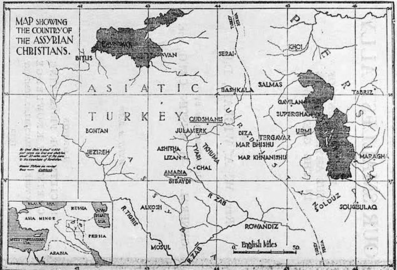
Map of the country of the Assyrian Christians, 1920
- Date
- 1920
Map from Our Smallest Ally marking the Assyrian districts and villages between Van, Urmia and Mosul, including Qudshanis, Tiyari, Tkhuma, Jilu, Ashitha, Amadia, Alqosh, Urmi and Salmas.
Do you recognize someone or something here?Names, places and family stories help us describe this photo properly.Source
Wigram, Our Smallest Ally (1920), via Internet Archive
W. A. Wigram · Public domain (published 1920)