PhotographAA-0194
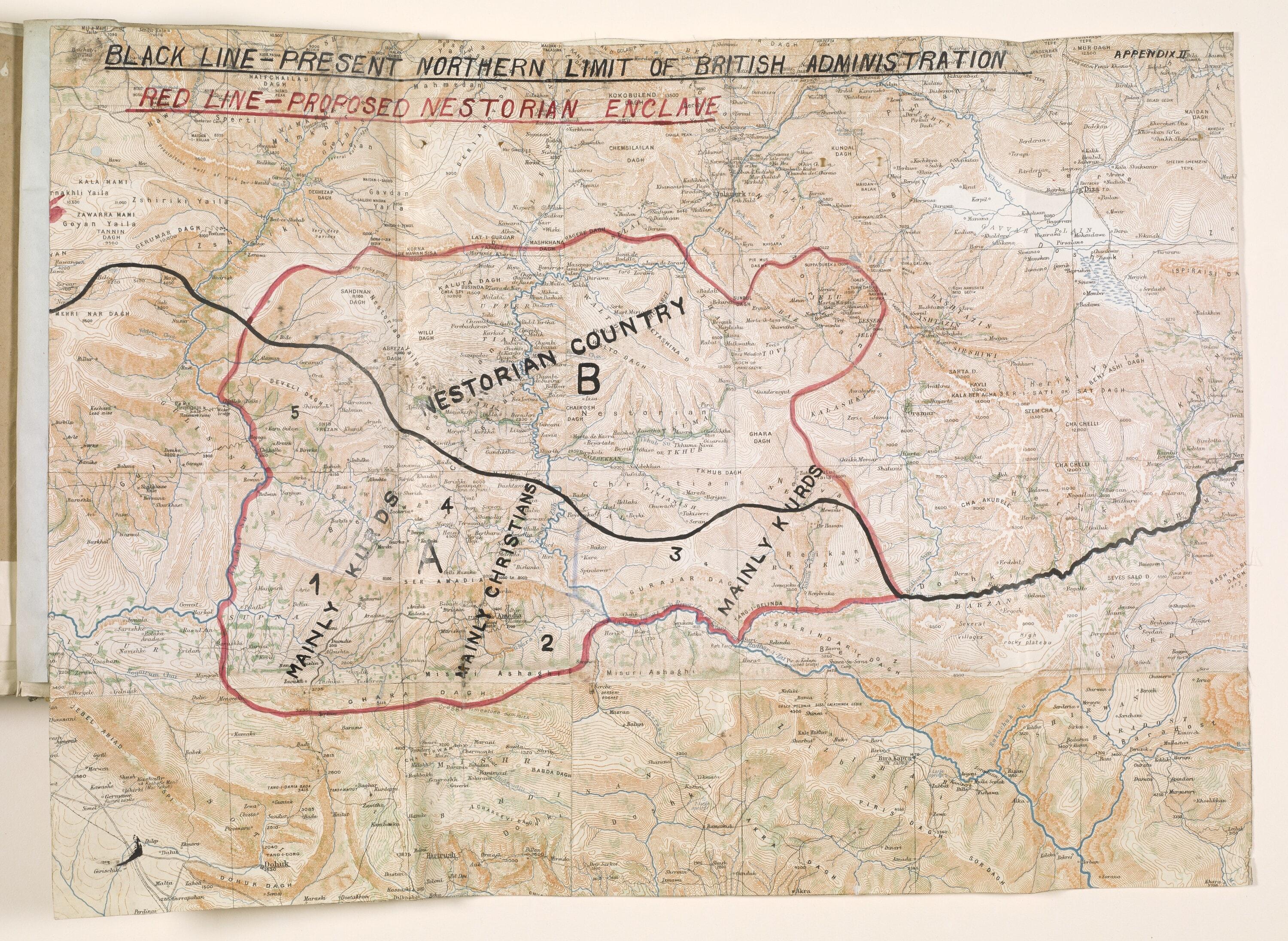
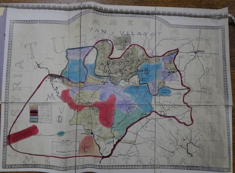
Proposed autonomous Assyrian state, map presented at Lausanne, 1923
- Date
- 1923
Hand-coloured map of the region between Van, Urmia and Mosul, with a red boundary around a proposed "Assyrian Millat" and coloured zones, presented by the Assyrian leaders to the Lausanne Conference in 1923.
Do you recognize someone or something here?Names, places and family stories help us describe this photo properly.Source
The National Archives blog: "All content is available under the Open Government Licence v3.0, except where otherwise stated."